
geospatial Services
Approach
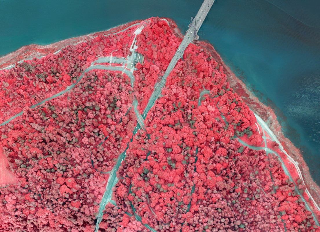
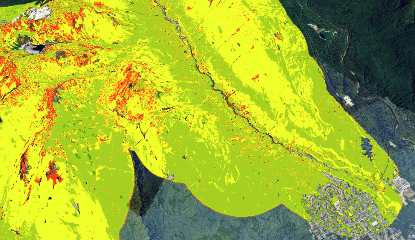
Advanced spatial data is the foundation of effective environmental management. Our geospatial team transforms complex spatial datasets into accessible, decision-ready tools for staff, decision-makers, and the public. We integrate high-resolution remote sensing—including LiDAR, multispectral imagery, and drone surveys—with on-the-ground environmental expertise. From modelling city-wide tree canopy now and into the future, simulating wildfire behaviour, delineating sensitive watercourses, to creating digital twins from drone surveys, we deliver defensible, science-based spatial intelligence. We continuously innovate our analytical workflows to support climate adaptation, equitable urban planning, and proactive green infrastructure management.
Key Services
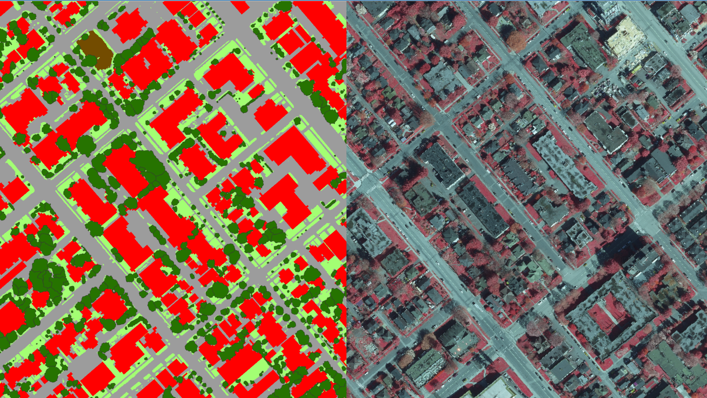
Tree Canopy & Landcover Mapping
Continuous Canopy Monitoring
Urban Canopy Forecasting (City-Wide and Development Site)
Tree Planting Opportunities
Urban Heat Mapping & Tree Equity
Wildfire Risk Mapping
Watercourse & Wetland Delineation
Ecosystem Mapping and Connectivity
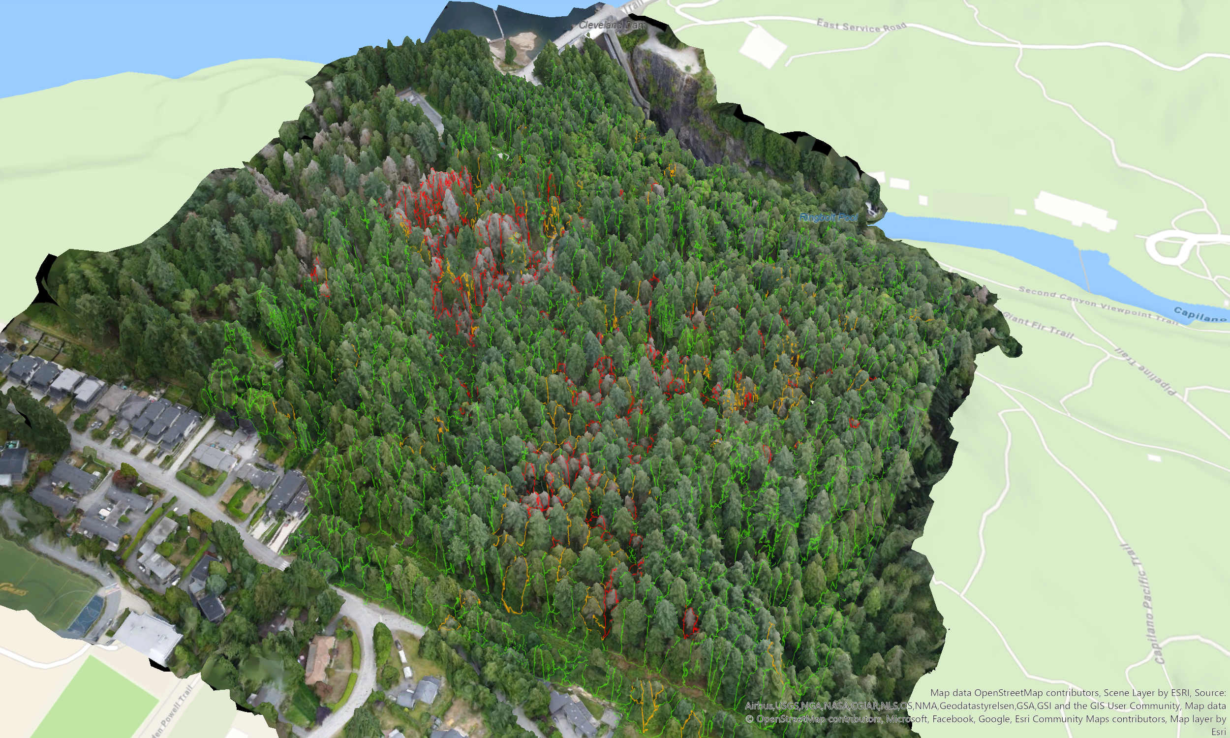
Forest Structure and Health Analysis
Drone 3D Surveying
Mobile Field Data Collection (Trees & Invasives)
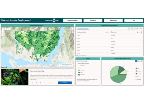
Interactive Web Dashboards, Experiences & StoryMaps
Tailored Satellite Imagery Collection
Tailored LiDAR Data Collection