District of North Vancouver
Nature and Biodiversity Strategy
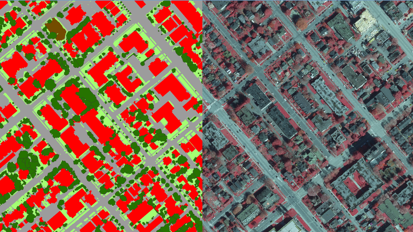
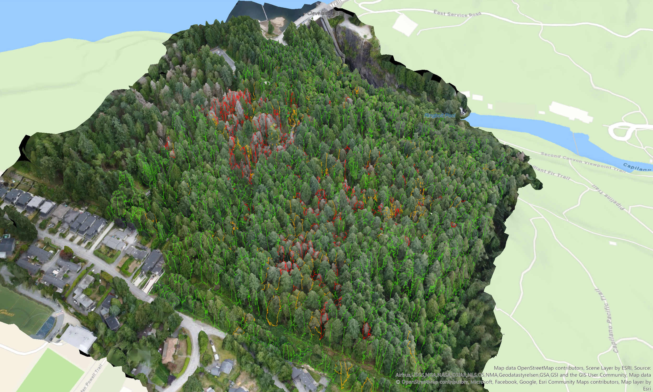
DHC conducted a comprehensive Biodiversity Assessment to map and evaluate the District's natural assets, which encompass significant portions of Metro Vancouver’s watersheds (and LSCR). Leveraging high-resolution LiDAR, orthophotography, existing spatial datasets (such as TEM and SEI), and targeted field verifications, we analyzed the structural stages and ecological health of terrestrial, freshwater, and marine ecosystems. This rigorous baseline evaluation identified sensitive biodiversity hotspots while assessing the compounding pressures of urban development, climate change, and invasive species, delivering a data-driven understanding of the landscape's current ecological state.
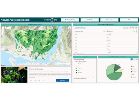
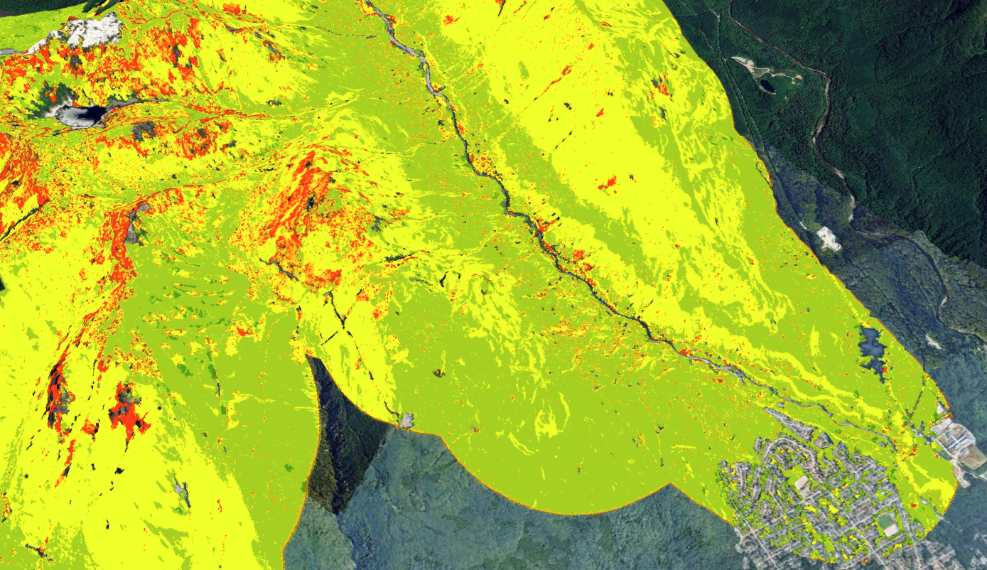
To translate these findings into an actionable management framework, DHC engineered a customized, GIS-based biodiversity ranking model that evaluated habitat patches based on size, connectivity, site productivity, and proximity to riparian environments. This spatial modeling culminated in the design of a District-wide Habitat Network delineating core habitat hubs, stepping-stone sites, and ecological corridors, explicitly highlighting the riparian networks that serve as the backbone of regional connectivity. By providing a prioritized spatial framework for protection and restoration, this project exemplifies DHC’s capacity to synthesize complex environmental data into strategic natural asset plans that enhance climate resilience, safeguard hydrological functions, and support long-term infrastructure planning.